
Labrador Park station on the Circle Line is the most useful rail reference for the reserve. Check the Land Transport Authority rail network before travel, especially during planned engineering work or service changes.
From station to coast
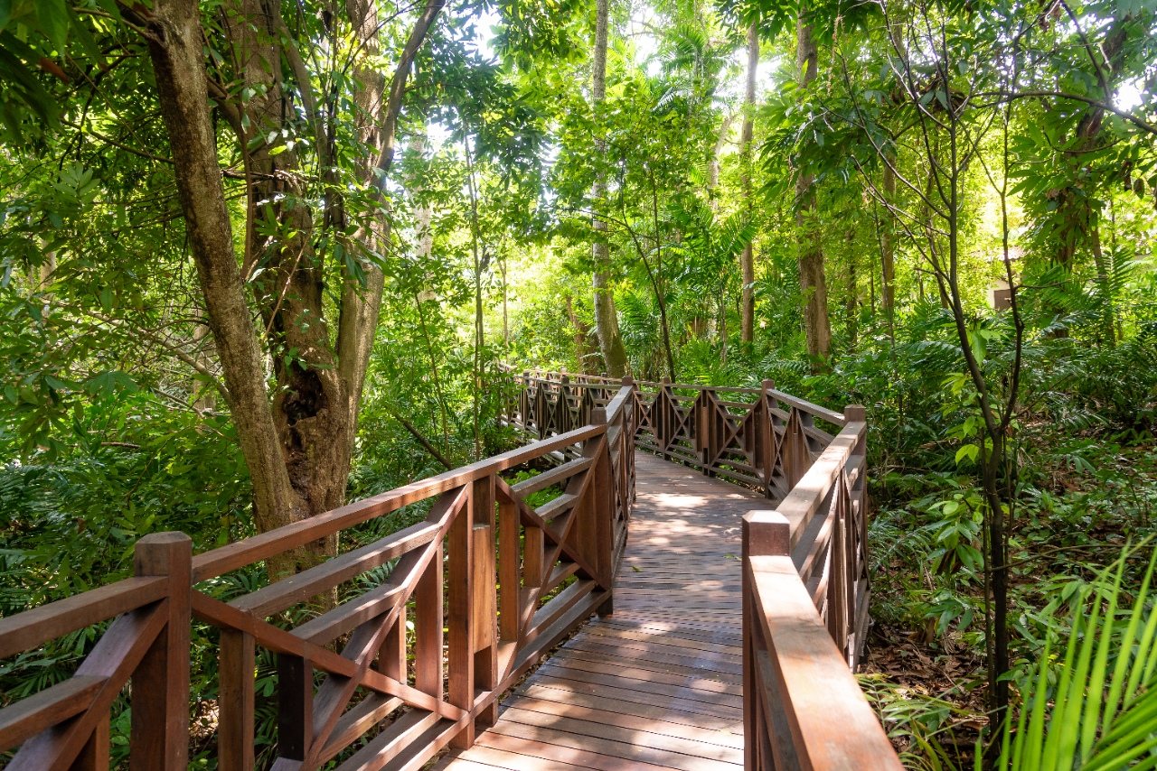
The approach passes the Berlayer Creek mangrove area before connecting with the waterfront and reserve. The official Labrador Nature and Coastal Walk page describes a 2.1 km self-guided route across boardwalk, mangrove, parkland and coastal habitats. Allow extra time for stops and humid weather.
Visit responsibly
NParks publishes opening hours, accessibility information, parking details and nature-reserve rules. Pets, cycling and drones are restricted in parts of the area, and group activities may require permission. Check the current park page on the day of your visit.